
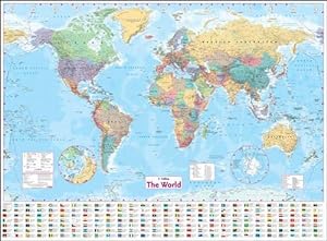
Collins World Wall Laminated Map (Wall Map)
Various
ISBN 10:
0007326882 ISBN 13:
9780007326884
Editorial: Collins, 2010
Idioma: Inglés
Mapa
Condición: As New
Encuadernación de tapa blanda
Librería: Alpha 2 Omega Books BA, Southampton, HANTS, Reino Unido
Calificación del vendedor: 5 de 5 estrellas
![]()
Vendedor de AbeBooks desde 22 de marzo de 2010
Usado - Encuadernación de tapa blanda
Precio:
EUR 83,07
Convertir moneda
EUR 26,88
gastos de envío desde Reino Unido a Estados Unidos de America
Destinos, gastos y plazos de envío
Cantidad disponible: 1 disponibles
Ańadir al carrito